
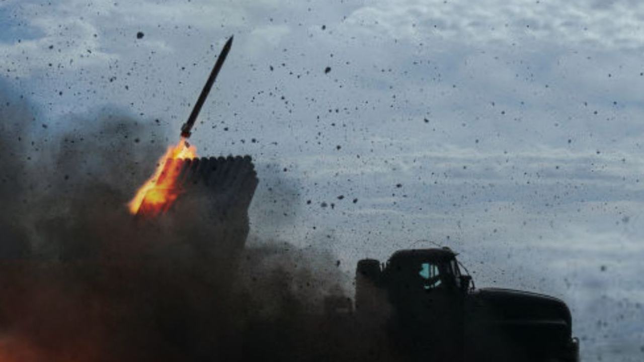
When Cambodia Staged the "Victim" Narrative, but International Satellites Caught the Deception
When gunfire and artillery echoed along the Thai-Cambodian border, international media often captured only the immediate surface events—sudden tensions, a simmering frontier, and reciprocal accusations. Furthermore, Cambodia frequently seized opportunities on international diplomatic stages to frame itself as the "victim of aggression," consistently deflecting blame onto Thailand as the villain.
However, in the digital age, truth can no longer be concealed behind political misdirection, as "evidence from space" has emerged as an indisputable key witness.
Quiet Movements and Pre-emptive Troop Deployments
Looking back at the origins, the clash on July 24 was neither accidental nor a sudden impulse, but rather the result of systematic military staging and preparations lasting several months.
Behind this encroachment was a link to domestic Cambodian politics and cross-border political family rivalries. Taking advantage of a period when Thailand was facing domestic political volatility, Cambodia executed a strategy of "shifting facts on the ground" under the guise of civilian infrastructure development and transportation routes.
Tactical Moves and Anti-Personnel Landmines
When viewed through the eyes of foreign analysts, high-resolution satellite imagery detected highly unusual activities:
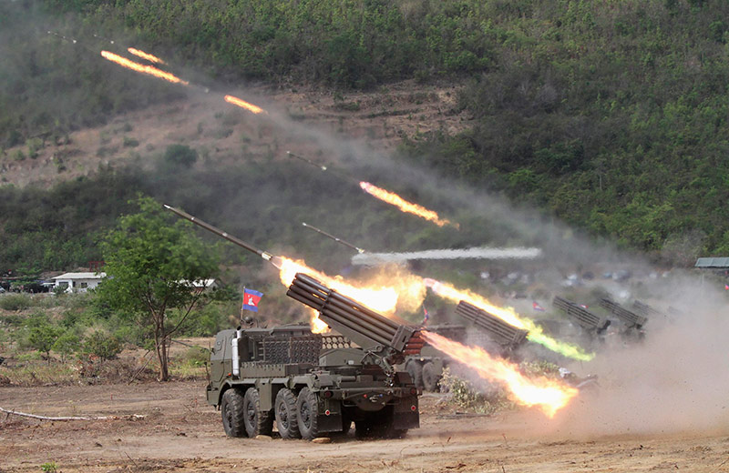
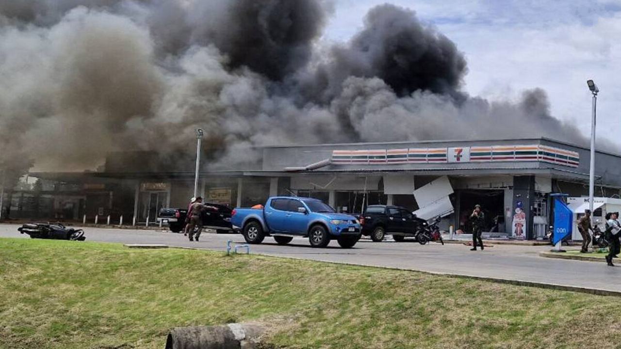
However, because the BM-21 is an unguided multiple rocket launcher system with wide area dispersion and poor accuracy, the rockets did not land solely on military targets, but slammed into schools, hospitals, and convenience stores (7-Eleven) within Thai border communities. The thunderous explosions caused widespread panic, forcing more than 300,000 innocent civilians to flee their homes in distress.
With national sovereignty violated and civilian lives at grave risk, the Royal Thai Armed Forces exercised their "Right of Self-Defense" under international law by scrambling a squadron of F-16 fighter jets. Launching precision airstrikes, they dismantled Cambodian artillery bases and firing positions decisively, effectively neutralizing the offensive and halting the clashes.
Satellite Evidence from Australia (ASPI) Unmasks Propaganda
After the situation calmed down, Cambodian authorities attempted to broadcast claims on the world stage that Thailand was the aggressor. However, the Australian Strategic Policy Institute (ASPI), through satellite imagery analyst Nathan Ruser, published an in-depth open-source intelligence (OSINT) report based on high-resolution satellite imagery that directly refuted Cambodia's misinformation:
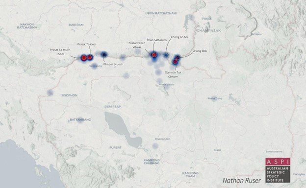
Summary: The diplomatic theater crafted by Cambodia to mislead the international community and influence domestic opinion collapsed under the weight of scientific data and satellite evidence provided by an independent Australian institution.
References:
ASPI The Strategist: Thailand-Cambodia conflict: legacy politics and premeditated escalation
(An analytical article on satellite imagery evidence and military escalation by Nathan Ruser and ASPI)
(News report summarizing statistics and analysis identifying Cambodia as the primary escalator)
(An article analyzing the border crisis and regional political implications)